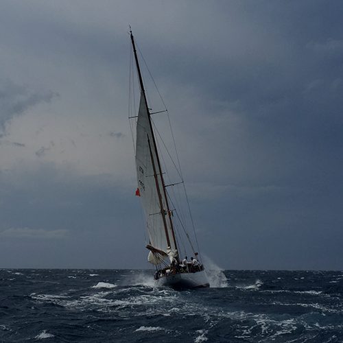
As I have written extensively, the ISAF World Championships in Santander have been exceedingly difficult for race committees and sailors. Winds have fluctuated in strength and direction which makes setting a fair course almost impossible.
Like most of the big sailing nations, the Australian Sailing Team has its own meteorologist here at the championships, analysing data and providing regular briefings to coaches and sailors on what to expect and when.
But Manfred Greitschus is the first to admit that his is not an exact science, and that the Santander venue presents huge problems for any meteorologist.
Firstly, there's the scarcity of good data. The major collection point is at the airport, which is inland and surrounded by flat land. People who build airports usually choose a site where the winds are steady and predictable. But the airport met station does a balloon flight every day at 2pm. It doesn't help for that day's forecast but is valuable for the following one.
The harbour, on the other hand, is surrounded by high hills, contains islands and lighthouses and varies considerably in both depth and width. It experiences tides of more than 4 metres, creating tides that run at around four knots in narrow places.
For anyone who watched the America's Cup last year, think of a smaller version of San Francisco Bay.
“The local met office probably has the best location in the world,” Manfred said. “It's built on a cliff overlooking the whole Bay of Biscay. We've had some good readings from there, but obviously the steep cliffs corrupt the picture a little. We found another location station at Mouro Island, but that's on an island with a big lighthouse, which creates turbulence and affects the readings.
“So getting an accurate macro picture has been difficult and that makes it hard to drill down to the micro level. I rely a lot on feedback from sailors and coaches to build a picture of what's happening within each course.”
Manfred uses computer models for his big picture analysis – the major highs, lows and troughs that roll in across the Bay of Biscay. Then he has to consider how the local topography will affect the minor highs and lows that form closer to the city, then drill it down again to tiny dots on the map, where the actual courses are located.
Australian sailors and coaches to whom I have spoken are generally happy with the information Manfred provides and they all accept that he can't tell them there will be a change to a southerly at 2.16 pm, for example. What he can and does do is provide a range of scenarios from which they can make their own decisions.
Armed with the general picture, when Nathan Outteridge looks up the course and sees a change coming, he already knows that Manfred has predicted which way it will move the wind. Based on this and his own vast experience, he can them make an informed decision on which way he will go.
That's about as good as it can get at a very complex venue like this one.
– Roger McMillan in Santander


