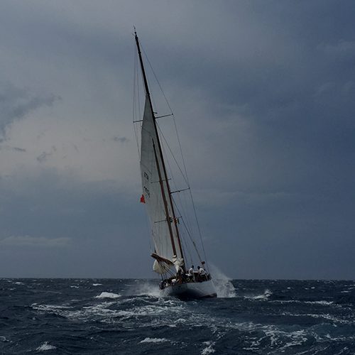
UPDATE AT NOON (QLD TIME): The eye of the cyclone is currently over Hamilton Island, where winds in excess of 250km/h have been recorded. Reports are coming in of boats breaking moorings at Airlie Beach. This is now preducted to be the worst cyclone for 50 years and becase it is moving so slowly – at between 6 to 8km/h – the devastating winds will remain over the Whitsundays for many hours to come.
Latest reports show heavy rain persisting until at least mid-morning Wednesday.

Report from 7am:
Tropical Cyclone Debbie, currently battering the Whitsunday Islands with winds of around 100 knots, was upgraded to a Category 4 by the Bureau of Meteorology at 8pm last night.
Expected to make landfall at around midday today, just an hour after high tide at 11am, a storm surge of up to 4 metres is predicted with potentially severe impact on small boats.
Here is the BOM information, updated at 7am:
Details of Severe Tropical Cyclone Debbie at 7:00 am AEST:
Intensity: category 4, sustained winds near the centre of 175 kilometres per hour with wind gusts to 250 kilometres per hour.
Location: within 30 kilometres of 19.8 degrees South, 149.2 degrees East , 95 kilometres east northeast of Bowen and 65 kilometres north northeast of Hamilton Island .
Movement: west at 6 kilometres per hour .
Severe tropical cyclone Debbie is currently a category 4 cyclone and is forecast to make landfall between Ayr and Midge Point late this morning towards midday.
Hazards:
The VERY DESTRUCTIVE CORE of severe tropical cyclone Debbie is now starting to impact the Whitsunday Islands and the centre of the system is forecast to cross the mainland coast between Ayr and Midge Point later this morning towards midday with wind gusts potentially to 260 km/h near the centre.
DESTRUCTIVE WINDS with gusts over 125 km/h are occurring about the coast and islands between about Bowen and Midge Point, including Proserpine, and will extend further along the coast to areas between Ayr and Sarina during this morning or afternoon. These DESTRUCTIVE WINDS may extend further north along the coast to Townsville and to adjacent inland areas, including Collinsville, Charters Towers, and Mount Coolon during the day today. It is possible that these DESTRUCTIVE WINDS may extend further south along the coast to St Lawrence today.
GALES are now occurring about the coast and island between about Home Hill and Sarina. These GALES are expected to extend to the remaining coastal and island areas between Townsville and St Lawrence later today. GALES could potentially extend further north to Lucinda and further inland to locations such as Charters Towers, Pentland, Mount Coolon, and Moranbah this afternoon and tonight.
Residents between Ayr and St Lawrence are specifically warned of the dangerous storm tide as the cyclone crosses the coast. The sea is likely to rise steadily up to a level which will be significantly above the normal tide, with damaging waves, strong currents and flooding of low-lying areas extending some way inland. People living in areas likely to be affected by this flooding should take measures to protect their property as much as possible and be prepared to follow instructions regarding evacuation of the area if advised to do so by the authorities.
Areas of heavy rain with the potential to cause severe flash flooding have developed around the Central Coast and Whitsundays district and are expected to spread to other parts of the northern and central Queensland coast and adjacent inland areas today. Widespread daily rainfall totals of 150 to 250 mm, with isolated event totals of 500 mm, are also likely to lead to major river flooding over a broad area this week, and a Flood Watch is current for coastal catchments between Rollingstone and Gladstone, extending inland to the Upper Flinders, Thomson and Barcoo catchments.


