From the land of fine dining to tourquise waters and white sand, William Merritt details his warm weather escape plan.
Speaking as a Melbourne-based yachtie, I’m aware that our northern neighbours rarely consider sailing south. To be honest, I can’t say that I blame them. Even in summer, Bass Strait can be a fairly chilly place. This is probably why we were so delighted when, in August 2003, we found our Mottle 33, Andalucia. This vessel not only fully matched our needs, but it also came complete with a fully enclosed bimini over the centre cockpit. One smart alec crewmember was heard to remark that it was the only time he’d sailed in a ‘conservatory attached to a boat’.
The enclosed bimini meant we could sail ‘across the paddock’ – between Wilson’s Promontory and Gabo Island – in comparative comfort. That thought was so appealing that we decided to do just that, and then we thought, as long as we’re going that far, why not sail all the way up to the Whitsunday’s. It’s intriguing how many of life’s best decisions start with ‘as long as you’re going to do that…’.
Looking back, I recall the prodigious amount of planning and preparation this involved. From time to time I’ve been asked ‘what was involved in preparing the boat and planning the passage?’ For those of you considering such a trip, I’ll try to summarise my best advice.
Finding your way
I’ll admit to being a little old-fashioned when it comes to navigation. Rather than go with ‘a series of left-hand turns’, I actually like to know where I am. Furthermore, I have a healthy distrust of things electrical. This niggling doubt has always been with me and was strongly reinforced when our chart plotter failed the day before we were due to leave Inskip Point for Mooloolaba via Wide Bay Bar. Fortunately we always carry a hand held GPS as a backup. I do own a sextant but it’s been some years since it’s seen the light of day (or night).
Even the simplest GPS unit can be used to plot fixes and waypoints on paper charts. A route marked on a paper chart is the clearest and safest way of tracking your progress. This does involve procurement of numerous paper charts at $35 each or you can buy a full set of Australian coastline charts for $745. A visit to the Australian Hydrographic Office website is almost essential. On this site you will find a range of useful information including items such as a complete index of charts, Notices to Mariners and details of your nearest chart agent.
Apart from charts, we obtained and made extensive use of:
- Cruising the NSW Coast /
Alan Lucas
- Beacon to Beacon /
Queensland Transport
- Cruising the Coral Coast /
Alan Lucas
- 100 Magic Miles / Alan Colfelt
- Curtis Coast / Noel Patrick
- Tide Tables for Victoria, NSW and Queensland
Preparing for a cruise is not rocket science. What is required is attention to detail and the application of common sense. Preparation should cover the following broad areas:
- having an appropriate vessel in seaworthy condition
- ensuring that you have all necessary gear and supplies (and know how to use them)
- ensuring that you and/or your crew have all the necessary skills.
Creating a passage plan
“We’ll leave on May 22nd at 6 am”. I have seen amazingly detailed passage plans that bear no resemblance to the reality of cruising. One should bear in mind the distinctions between ‘racing’, ‘delivering’ and ‘cruising’. Racing involves sailing at a set time on a set date. Delivering a boat involves getting that boat to a particular place by a particular date. Real cruising knows few time constraints and involves setting out only when tide, wind and weather are favourable for a comfortable trip. The problem with our cruising timetable is that awful four letter word, ‘work’. Those of us who are working may not be able to afford the luxury of waiting for good weather for departure. Luckily the difference between good weather and foul weather, even in Victoria, is typically only a few days.
The first decision – long passages or day sails?
We’re comfortable with sailing overnight with just the two of us but, frankly speaking, I sleep better in a secure anchorage. Furthermore, if you are really cruising, you’ll want to visit everywhere, see everything and meet as many people as possible. Accordingly we planned to ‘day hop’ whenever possible. This is quite feasible once you’re north of Eden.
If you’re planning to day sail the east coast of Australia, then you’re going to have cross river bars. Alan Lucas, in his book, Cruising the NSW Coast, has excellent advice on tidal flow rates at river entrances.
I calculate the tide level at the destination, looking for a time when there will be plenty of depth and an inbound tidal flow. These conditions, coupled with a low to medium swell, offer the best chance of ideal conditions. Having established the ideal arrival time I would chart our course, establish the distance to be covered and calculate our departure time, frequently in the wee small hours of the morning, based on our average cruising speed. When we arrived the decision to enter or stand-off was based on the weather conditions and how large and well-marked the entrance was.
Speaking of leads, I must say that we found them to vary in visibility to an amazing extent. In some locations they were so hard to find that we made our entry relying extensively on the GPS, without ever locating one or both of the leading marks. This does nothing for one’s confidence and at times caused a considerable degree of marital disharmony. Regular users of a port probably take familiar leads for granted. This is a luxury not afforded to a first time visitor.
Timing your departure
Autumn is Melbourne’s annual period of settled weather. The days are not too cold and there are often extended periods of calm. The belt of high pressure systems moving west to east across the south of the continent moves north in winter and south in summer. By late summer / early autumn, this belt has reached it’s southern limit, and most years this means that the low pressure systems are tracking south of Tasmania. We departed in early May.
At this time of year there may be some south-easterlies blowing so one needs to be selective to find a window to get to Gabo Island. Thereafter the south-easterlies become useful for broad-reaching along the east coast. A further obvious advantage of departing at this time is that one escapes the chill of Melbourne’s winter.
Typically, for a week or two before our proposed departure date I keep an eye on the weather patterns, then as the date approaches I’m looking for a good departure window. The night before departure I would review the weather forecast again. I like to leave in light conditions, whilst I occasionally end up motoring a bit, it gives the crew time to settle into a routine.
Queenscliff
Queenscliff makes a useful departure point. The port is particularly convenient for members of Queenscliff Cruising Yacht Club, since they can use the club facilities at any time. Non-members can be ‘signed in’ and are welcome to stay for as long as necessary, provided there are members present. One nice thing about Queenscliff is that they have a self-serve fuel pontoon. Cruising yachties will, in future, be able to exit Port Phillip with a full fuel tank. This is significant benefit for those heading non-stop to Eden.
The Rip
The hardest part of our journey was at the start because we Victorians have to cross both the Rip and the formidable ‘paddock’.
The entrance to Port Phillip, known as The Rip, is a major source of apprehension tor novices. Yachtsmen love to tell stories of misfortune. The reality is that if you plan your passage correctly, taking account of the tide, weather and traffic, then The Rip shouldn’t present a problem. Observing a few simple guidelines will ensure a relatively comfortable passage.
Tide and weather
With the rise and fall of the tide an enormous volume of water passes through the entrance to Port Phillip at considerable speed. There is, in the six-hour period between high and low tide, a time when the water is barely moving as the flow changes direction. This window is the time to be utilized for the passage. As a rule of thumb it is the mid-point between high and low tide and I generally allow myself up to one hour either side of this time.
The actual times of ‘slack water’ are published in the Victorian Tide Tables. It should be borne in mind that a flood tide is usually calmer than an ebb tide. The latter, when flowing at maximum velocity against wind, waves and ocean swell produces a maelstrom of turbulence which has proved disastrous even for some large and powerful vessels.
Coast Radio Melbourne, which can be contacted on Channel 16, will take movement reports and provide information on tide and sea state, but they are not at liberty to advise cruisers on whether or not to make the crossing.
Traffic
Another hazard to be allowed for is the passage of ships that may need to alter course as they exit or enter Port Phillip. I have found the radio operators based at Point Lonsdale lighthouse to be extremely courteous and helpful. A call to Point Lonsdale on VHF Channel 12 to report your intention to make the transit will also yield information on shipping movements. This is important if you propose to use the main leads.
The official or unofficial channel?
As you exit Port Phillip you need to decide on using the official channel or the unofficial small boat channel. My own preference is always to use the unofficial channel recommended for recreational vessels. This is colloquially referred to as ‘four fingers west’ and it refers to the alignment of four significant towers atop Shortland Bluff. The best account of this procedure, in my experience, is in an excellent book entitled Explore Victoria’s Waterways, including Bass Strait and Northern Tasmania by Gordon Hill, Jan Hill, Graham Titmus and Ian McCaskill. Unfortunately this book has been out of print for some years. If you see one in a garage sale, buy it.
The best way to see how the towers are aligned is to have somebody show you. I suggest you contact the Ocean Racing Club of Victoria (ORCV) and book in for their next ‘Rip Tour’. This tour is designed to acquaint individuals with marks, courses and hazards in the Rip.
If your need is immediate you might like to use my waypoints, which are:
- Four fingers west – inside
38° 16′. 800S 144° 39′.000E
- Four fingers west – outside
38° 18′. 300S 144° 36′.600E
If you stay on course between these points you will be clear of the shipping lanes and the worst of the turbulence.
Up the coast
Our east coast odyssey has now begun in earnest. We are in Bass Strait and guess what? With all our careful planning it doesn’t look half bad.
From here we cruised for ten weeks with about forty stops before dropping anchor in Turtle Bay on Whitsunday Island. I’ll spare you a detailed account of each sunrise and sunset and give you the highlights from a passage planning perspective.
Bolt holes
If you sail Bass Straight you’re mindful of bolt holes should the weather take an unexpected change for the worse. The longest legs we undertook on the east coast were 12 hours. Of the forty legs we sailed only two were that long – the rest were significantly shorter. This means that we were never more than six hours from port, and one would hope that the Bureau of Meteorology is generally able to give more than six hours warning of bad weather. Virtually all of the stops we made would serve as bolt holes (provided the sea state didn’t have time to build) and there are many other ports / anchorages that we did not visit.
The relatively small number of all weather ports shouldn’t be a concern if you’ve done your homework and if you keep an eye on the weather, but do remember that if the weather and sea state are really bad, conditions on ‘barred’ entrances are usually worse.
Sometimes the right decision will be to stay at sea and endure the conditions as you work your way towards the nearest port with an all weather entrance. Constant contact, via VHF, with the nearest SARCC (Search and Rescue Co-ordination Centre) is recommended. We have nothing but praise for the volunteers manning these centres.
Inland Waterways
If you are going to do the east coast and you’re not in a hurry, I recommend you take the inland routes at Gladstone, the Great Sandy Strait inside Fraser Island and the Broadwater inside South Stradbroke Island. The beautiful scenery in these places makes the effort well worthwhile. The Beacon to Beacon directory issued by Maritime Safety, Queensland is invaluable. If you are new to these waters and willing to heed advice, I would suggest the following cardinal rule: “Don’t forget to mark off each beacon as you pass it”.
You think you’ve been to tough bars?
I guess all bars can be tough in the wrong conditions. If you heed the advice of experienced, knowledgeable cruising folk like Alan Lucas, you will find that most of your crossings will be safe enough, still there were a couple that made me question my sanity. Our ‘scariest ride award’ goes to the Wide Bay Bar at the southern end of Fraser Island. We had followed the rules, arriving at high tide, observing safety requirements and following the two waypoints from Beacon to Beacon. The waypoints mark the start and finish of the ‘mad mile’. This is the middle leg of the three-leg course leading one between three banks of breakers. We had problems finding the leads on this bar, which led to stress levels approaching atmospheric. I must say that the relief as we anchored behind Inskip Point was palpable.
Good leads
Our award for the ‘most visible leads’ must go to Mooloolaba. We had sailed from Scarborough, taking a bit of a shortcut through the western banks in Moreton Bay. This was a challenging experience that we survived only because of a prodigious amount of preparation the night before. If there’s a lesson to be learnt from this experience, it would be to use the marked courses detailed in Beacon to Beacon.
Once clear of Moreton Bay the trip was pleasant enough until we neared Mooloolaba at 1600 hours, when the wind and waves stepped up sufficiently to allow the local surfers to pass us as we lined up, in beam seas, on the entrance. There in front of us were banks of multiple lights. I recall feeling like a jumbo jet pilot approaching an airfield. Even the sound of the ‘low oil pressure’ alarm failed to dampen my spirits. Besides, the alarm stopped the moment we stopped rolling as we entered the Mooloolaba River.
Ah, the Whitsundays
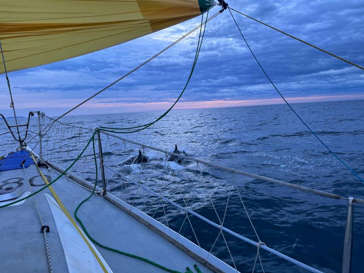
For a southern ocean sailor, the Whitsunday Islands are as close to paradise as you can imagine. The islands, the blue water, the sea life and warm climate make this a destination not to be missed. We saw plenty of beautiful sunrises and sunsets, frolicking dolphins, pods of whales and phosphorescence in our wake. We had adventures and scary moments as well as periods of light-hearted camaraderie. The idea of making this trip seemed daunting at first, but after a few tenuous steps the way journey opened up into an unforgettable experience and one that I wholly recommend.

